Drone Swarm Technology! Nothing short of cutting edge design both in hardware and software.
Imagine trying to navigate with your eyes closed in 3 dimensions – so up and down, forward and backwards and left to right? Then factor in the wind and having to compensate to keep still or steady – that gust and how it will affect you travelling along a very specific pathway?
Not easy hey!
Our drone swarm system processes data from multiple accelerometers, gyroscopes, compasses and GPS positioning and not only from satellites above but a transmission from the ground.

Our software is constantly monitoring the safety of the swarm and ensuring that everything is good from battery voltage through to GPS strength.
Your drone show design is carefully created and simulated in 3d checking every single split second of the show for any potential problems. For example do 2 drones get too close? Are drones being asked to fly too fast to keep up with the intended design?
Adjustments to the design file can be made and modelled again to test and ensure everything is just how it should be.

This is all part of the service that we provide.
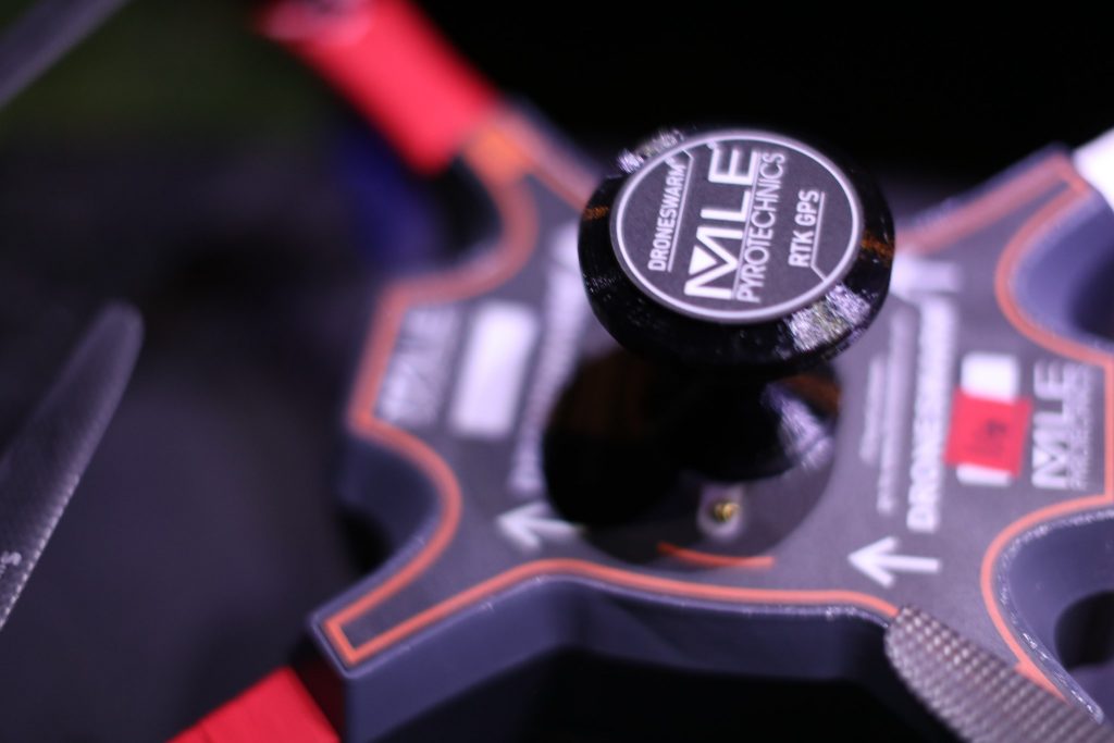
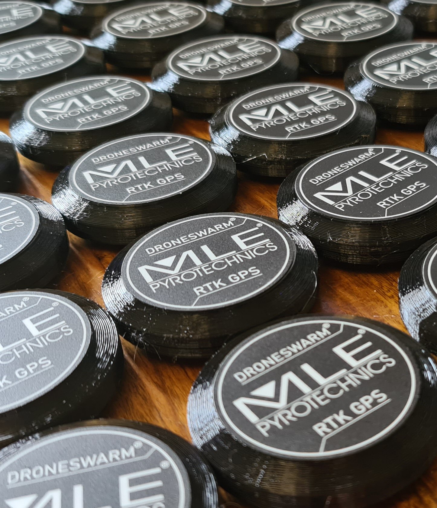
Here are some of the elements that make up a drone or unmanned aircraft flying in the Drone Swarm fleet:
Gyroscope: https://en.wikipedia.org/wiki/Gyroscope
Compass: https://en.wikipedia.org/wiki/Compass#Solid_state_compasses
Accelerometer: https://en.wikipedia.org/wiki/Accelerometer
GPS: https://en.wikipedia.org/wiki/Global_Positioning_System
Safety is an extremely important area for drone swarming and one of the key things we impliment is something called Geo-Fencing.
Geo-fencing is the ability to have a drone so something automatically once is goes past a pre-set place in space defined by GPS co-ordinates. E.g. if the device were to fly above 120 metres it doesn’t go any further. This would be a soft geo-fence. An additional hard geo-fence at a greater distance is also set to disarm the motors.
Get in touch to discuss your project by clicking Contact Us


Comments are closed